The risk to flooding in South Woodham Ferrers
The Environment agency has a flood map which outlines the areas in South Woodham Ferrers at greatest risk from a tidal surge (sea) and rivers. It is possible to enter a postcode on an alternative page map to view the estimated risk.
Large puddles also build up after prolonged rain. These are mainly due to inadequate drainage. Sometimes the combination of flooding from a river and stream and inadequate drainage causes a problem. This is the case outside the Whalebone Pub. Every so often, the drains are cleared but not frequently enough. Fenn Brook is also allowed to silt up to add to the problem. A large puddle accumulates there which is a nuisance for adults but great fun for kids in wellies. It is passable by cars, albeit slowly so that it does not drench pedestrians.
Another problem spot is at the top of Hullbridge Road where it meets the Burnham Road. A stream develops in heavy rain storms which flows down Hullbridge Road.
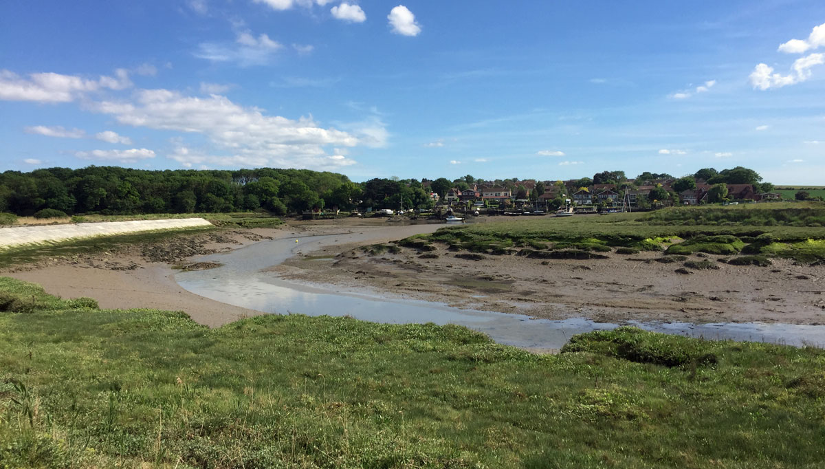
South Woodham town centre and the southern reaches of the town near the River are low lying. The town has a sea wall, flood plain and defences to protect residents should there be a flood.
Read more about South Woodham Ferrers Tide Tables
A flood warning siren is in existence and is tested annually to make sure that it will work if needed and the yacht club always publishes times of high tides in the local Focus magazine. They also watch for river levels during periods of high spring tides. Part of if the unease concerning flooding is because of distant history. To my knowledge, none of the new residential properties have suffered flooding damage since building began in 1976.
Flooding in the past
People in Essex and East Anglia still have memories of the bad floods that occurred after tidal surges at the end of January in 1953. A combination of spring tides and a depression cause a 5.6 metre tidal surge to spill out over the land. 503 people died at that time and 24,000 homes were devastated as flood waters came half-way up houses. Canvey Island was especially badly affected with only the roofs of houses appearing over the flood water. The Whalebone in South Woodham stood ‘waist’ deep in flood water.
This led to a major strengthening of flood defences to prevent re-occurrence.
A similar, but not as devastating storm surge occurred on the 11th January 1978. To the dismay of residents. the government considered allowing Essex and Kent to flood during any recurring tidal surge to protect London. That was before the Thames Barrier was completed.
Since then, the county has encountered minor flooding, river defences have been strengthened and a watchful eye is kept on the height of spring tides.
Photograph showing river defences on the Crouch (white)